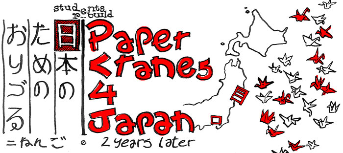
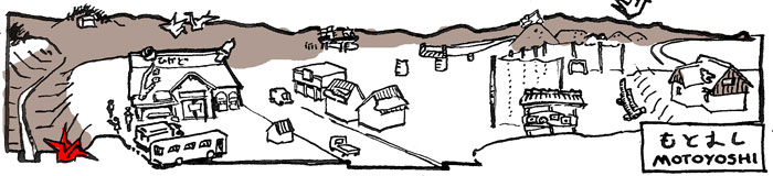
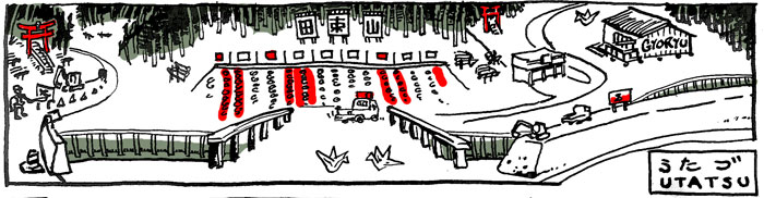
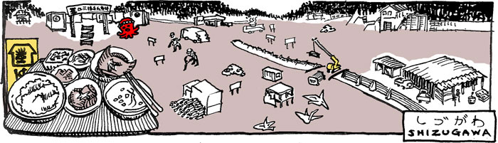
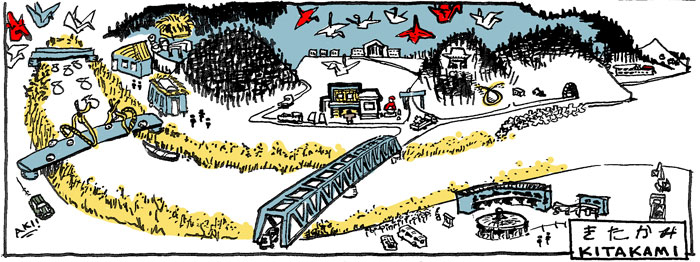
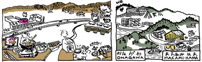
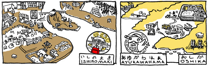
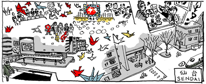
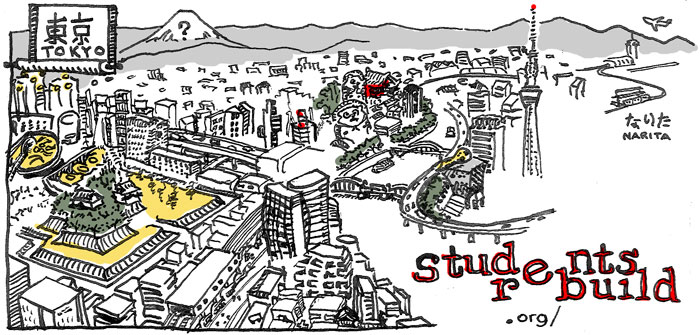
This visual tool digests a geographically-sensitive blog serial into a whole and immediate narrative. Cartoon is a powerful format for combining characters, locations, and text - here cartoons are adapted for subjective cartography.